Usage
The following command will make a part of Germany routable:
./run.sh unterfranken.osm ui
- it downloads 40MB, unzips it to 450MB and creates road-files for graphhopper in unterfranken-gh (40MB)
- it builds the graphhopper jars
- if you leave the 'ui' away and specify osmreader.runshortestpath=true in the config.properties it'll run some shortest path queries on it
When executing the command again, then the existing graphhopper road-files and jars will be used. So, the UI should pop up fast (~2 seconds).
After the UI popped up you can drag to move the map or scroll to zoom like in ordinary maps apps.
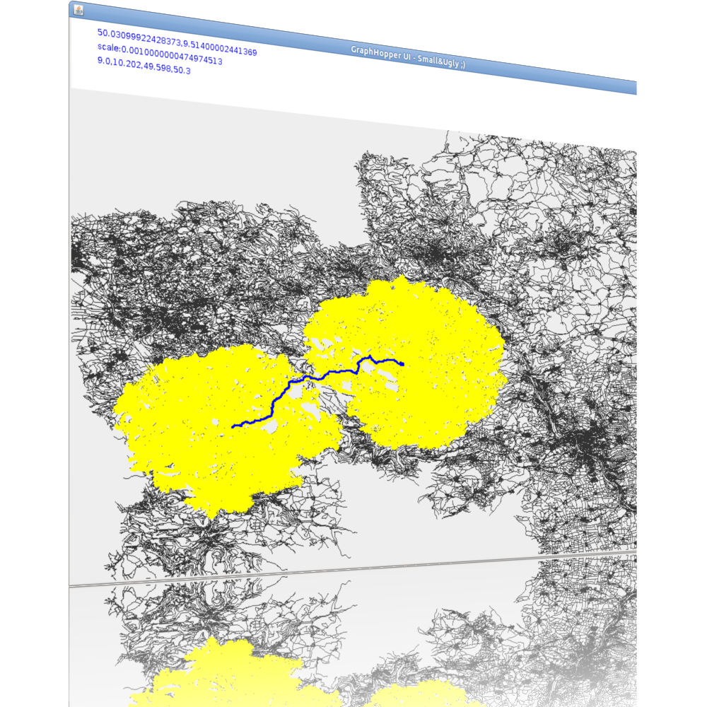
Click once to select a departure and another click to select the destination.
Then a route should pop up like in this SHINY ;) image
Performance comparison table of different algorithms. And visualization of
If you want to import full Germany do:
./run.sh germany.osm ui
- For Germany it takes approx 25 minutes for the import and roughly 1 minute for the ugly&slow UI to pop up.
- At the moment the UI is a bit rough and simple so, don't click or drag too much as it takes some time for this large road network